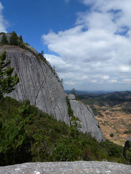
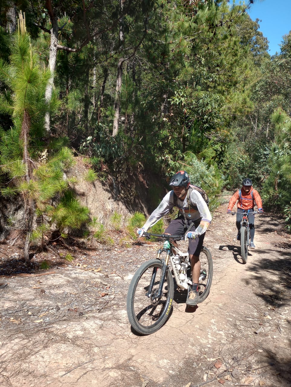
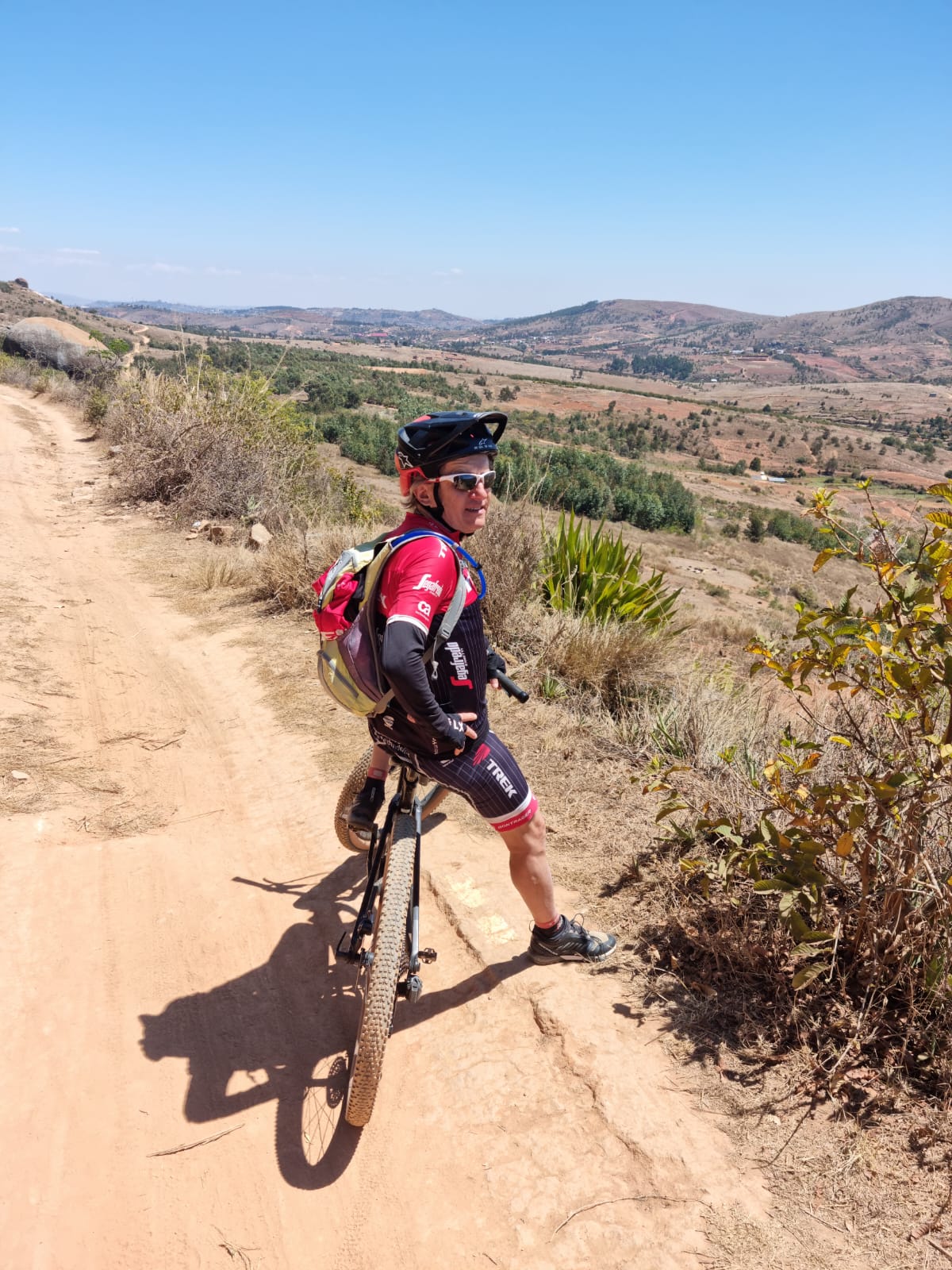
The Angavokely forest reserve is also the highest point at the gates of Tana. Take advantage of this proximity for you and go by bike in a few hours.
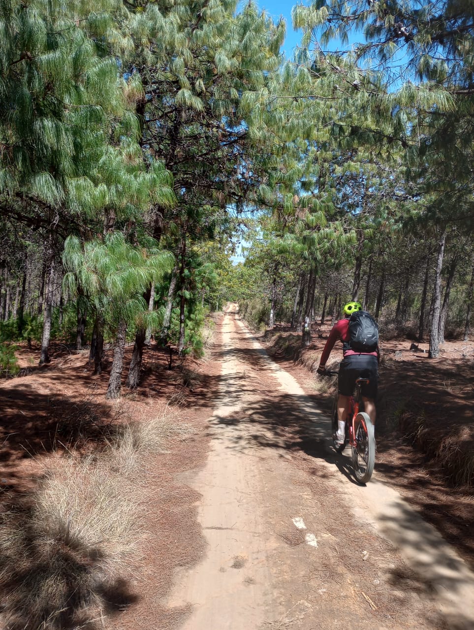
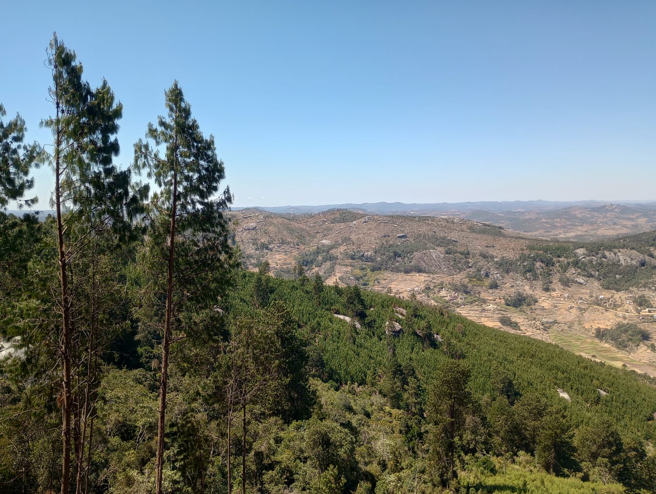
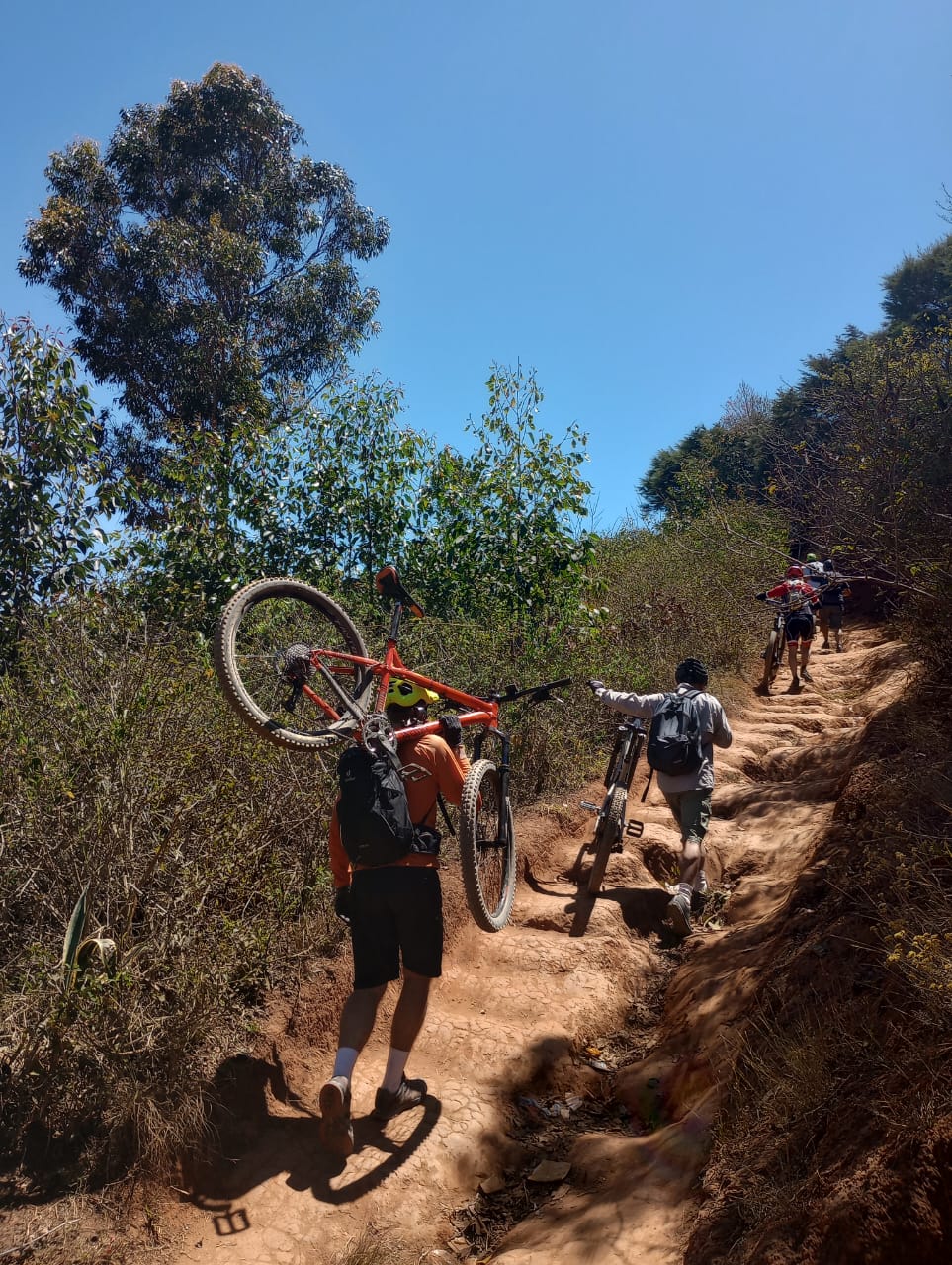
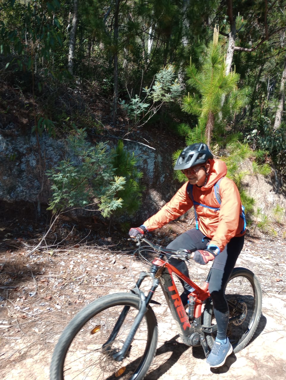
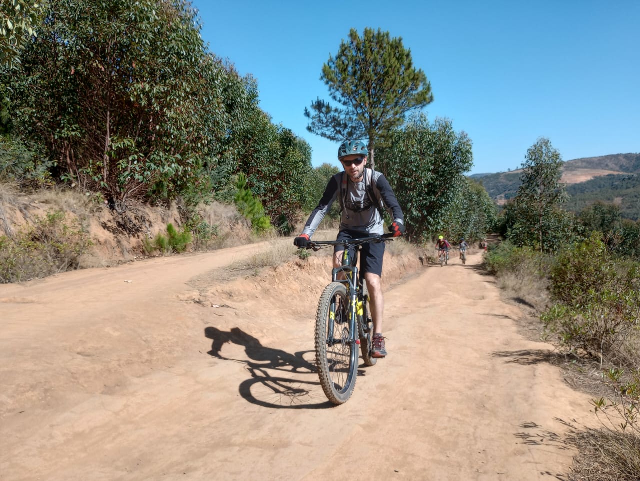
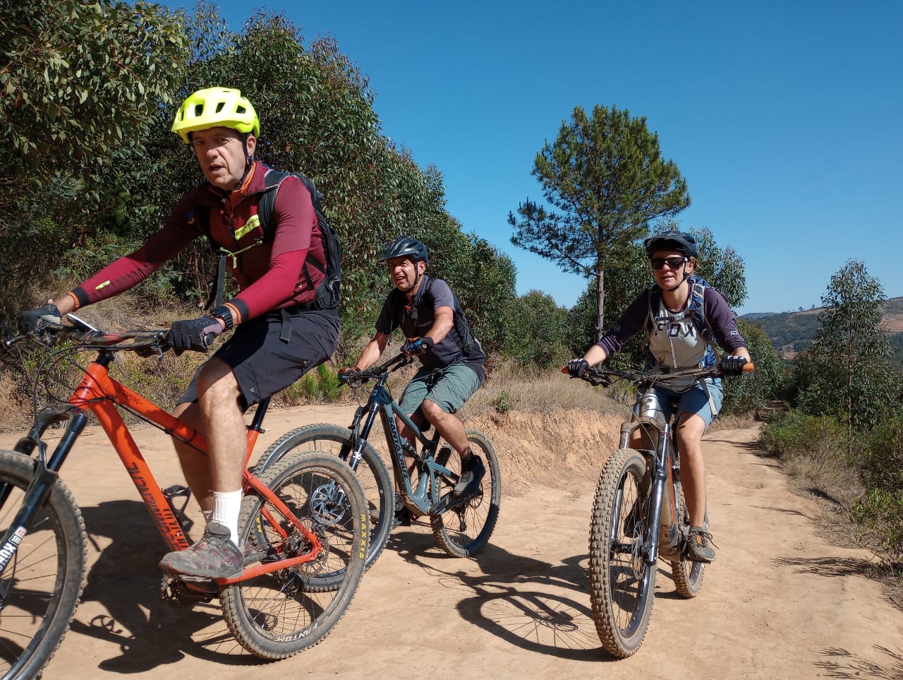
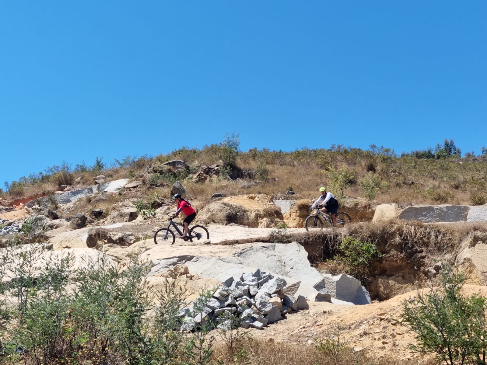
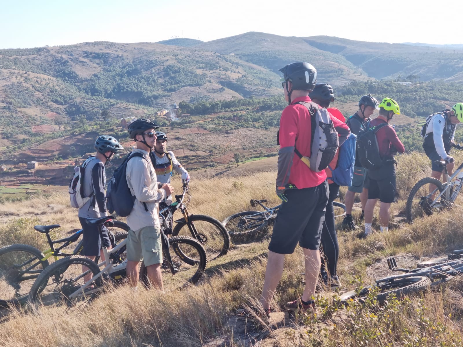
You will start from the Ambatobe district, more particularly on the panoramic dirt parking lot. The first kilometers take the usual tracks for organized Mbike Sunday outings, those along the RN2 on the north side. At pk 15, we cross the industrial quarry used for the construction of the new North East Bypass of Tana in order to reach a very pleasant ridge to ride. It is at PK 24 that we will reach the RN2, at the summit of Miharidaza, and which we will take for 2.5 km. Our approach to the summit of Angavokely will then begin, while following the train tracks for a few hundred meters. This ascent will be the main difficulty of the day because the total ascent is approximately 400m of D+ over 4 kms, i.e. an average slope of 10%. The end of the ascent is steep, but the surface is an old asphalt forest road. After a well-deserved break we will set off again for a lovely descent through the fir trees, before reaching the village of Carion and crossing the RN2 very quickly. We will then be partially on the route of the UCST trail. The single tracks borrowed will be a little more technical. We pick up the RN2 once again around Ambanitsena. The remaining 20 kilometers we will take different tracks than those on the outward journey but will stay close to the RN2 on the north side. We will then be partially on the route of the UCST trail. The single tracks borrowed will be a little more technical. We pick up the RN2 once again around Ambanitsena. The remaining 20 kilometers will take different tracks than those on the outward journey but will remain close to the RN2 on the north side. We will then be partially on the route of the UCST trail. The single tracks borrowed will be a little more technical. We pick up the RN2 once again around Ambanitsena. The remaining 20 kilometers will take different tracks than those on the outward journey but will remain close to the RN2 on the north side.

| Elevation profile and distance | |||
| Departure | Activities | Distance | Height difference |
| Day 1 | Mountain biking | 69.5 km | 2217 m D+ / 2216 m D- |
| Guide | |
| Refreshing drink after the outing | |
| Our bike rental prices: | |
| - Semi-rigid mountain bike brand Mbike at 85,000 ar/day | |
| - Cube brand semi-rigid mountain bike at 105,000 ar/day | |
| - Semi-rigid VTTAE brand Cube at 195,000 ar/day | |
| - Semi-rigid VTTAE Fat bike Fantic at 260,000 rpm/day | |
| - Fully suspended VTTAE at 260,000 ar/day | |
-
ARRIVAL
12:30 p.m. at the Ambatobe Terre Rouge car park
-
START
6:00 a.m. at the Ambatobe Terre Rouge car park
-
VISA AND ENTRY REQUIREMENTS
In order to be up to date with entry formalities into Malagasy territory, we will give you all the useful and necessary information. Visa fees (and other anti-covid tests, etc.) are not included in the cost of the stay.
-
TRAVEL INSURANCE
To be defined according to your needs
-
ACCOMMODATION
N/A
-
PURPOSE
All payments are made in ariary in advance. Possibility of changing money before departure. The exchange rate is taken from the daily rate of: https://www.banky-foibe.mg/, with an increase of 5%
-
FOODS
N/A
-
WASHING
N/A
-
INTERNET
N/A
-
GUIDE TIPS
You are free to tip your companions.